From CSIRO-Commonwealth Scientific and Industrial Research Organization (AU)
6.26.24
ANDY BAKER
MARGARET SHANAFIELD
MARILU MELO ZURITA
STACEY PRIESTLEY
WENDY TIMMS
Groundwater sustains life, from farming to wild animals. But we don’t fully know how quickly it recharges.
You would have learned about the “water cycle” in primary school – water’s journey, from evaporation to rainfall to flowing in a stream or sinking into the ground to become groundwater.
Despite how simple it sounds, there are actually some large unknowns in the cycle – especially concerning groundwater.
We don’t know, for example, how fast aquifers – porous rock layers saturated with water – recharge. Or how much water actually makes it underground. And how much rain do you need to refill these underground reservoirs?
These questions are crucial because we rely very heavily on groundwater. It’s far and away the world’s largest source of fresh water we can access. There’s more water in the polar ice, but we can’t use it.
Our research team has been exploring a new approach to groundwater: going down to where the water is, using caves, tunnels and mines. We have installed a new network of groundwater sensors in 14 sites across Australia’s southeast – some more than 100 metres below the surface.
This is already giving us valuable data. For instance, in old mines in the Victorian gold mining town of Walhalla, we found it took more rain than we expected to start the recharge.

Loggers on old mining infrastructure in a old mine in Walhalla. Wendy Timms, Author provided
Why does groundwater recharge matter?
Worldwide, we are using groundwater much faster than it can naturally replenish. Researchers have found rapid declines in the water table of over 0.5 metres a year across many regions globally.
This is a real concern for Australia, the world’s driest inhabited continent. While the tropical north gets plenty of rain, it’s harder to come by elsewhere.
Across the continent, groundwater accounts for 17% of our accessible water resources. But it accounts for more than 30% of our total water use.
Groundwater is an essential resource, estimated to contribute A$6.8 billion to GDP.
In the Murray Darling Basin, groundwater extraction increased between 2003 and 2016, reaching 1,335 billion litres a year on average.
Native plants and animals in arid regions often rely entirely on groundwater bubbling up through springs.
Perth relied so heavily on groundwater that it’s depleting its aquifer, forcing the government to build desalination plants. Even now, Western Australia relies on groundwater for two-thirds of its water needs.
This is why recharge rates matter. If we’re using groundwater at the same rate it recharges or less, that’s sustainable use. But if we’re pumping out far more than it can refill, that’s unsustainable.
Groundwater recharges from rainfall which seeps through the soil into deeper layers where evaporation can’t get to it. It can also refill from surface waters. But recharge is difficult to measure accurately.

Groundwater has long been important to Australian farmers. Department of Climate Change, Energy, the Environment and Water
How can we better track groundwater recharging?
Researchers in Darwin recently undertook the largest analysis to date of long-term rainfall recharge across Australia. They used 98,000 estimates of recharge rates, using data from bores and machine learning algorithms.
The result was surprising. They estimated the average recharge rate for the Australian continent was just 44 millimetres per year. But it differs a great deal depending on where you are. In humid, wet climates such as across the Top End, the water table rose by 203mm a year. But in arid climates, it was just 6mm.
For comparison, the typical annual rainfall in Sydney and Brisbane is just over 1,000mm per year.
This study poses a challenge to our understanding of groundwater recharge. The estimates in this study are substantially lower than studies relying on contemporary water balance models, which report more than double the amount of recharge for Australia.
One issue is the Darwin research was not able to show where the groundwater came from or how old the water is. You might think groundwater recharges quickly, but a quick recharge means it takes years. A slow recharge can take thousands of years.
This gap is a concern. Our water authorities need the most accurate data possible on annual recharge rates – and the age of the water.

A sensor in Wollondilly Cave, New South Wales. Andy Baker, Author provided
Our network of hydrological loggers are now gathering underground data in sites such as the gold mine in Stawell, in Victoria, and South Australia’s Naaracoorte Caves, famous for fossils, as well as mines and tunnels in New South Wales, Queensland and Tasmania.
Natural caves and groundwater are often fairly shallow. We wanted to get deeper data, which is why we chose mines. Our deep sites are over 100 metres underground.
Our sensors can detect each groundwater recharge event by doing something very simple: counting drips from the ceiling, and comparing them to what’s happening on the surface, so we can see where and when groundwater recharges.

This figure shows how loggers in underground tunnels, caves and mines capture groundwater recharge. Anna Blacka, Author provided
Last month, we presented initial results, which show large variation.
Walhalla lies in the foothills of the Great Dividing Range outside Melbourne. It’s relatively rainy, with over 1,200mm per year.
Our sensors showed us the water table here had recharged 15 separate times over the 18 months to March 2024.
Despite the high annual rainfall, more than 40mm of rainfall over two days was needed to overcome dry summer conditions and cause recharge to start.
By contrast, Stawell’s gold mine is in an arid climate ~200 kilometres west of Melbourne, with under 500mm of rain annually. Even 100 metres underground, we could see water from rainfall moving through small pathways in the rock. But unlike Walhalla, we could not see the effects of individual rainstorms. By the time the water got that deep, any pulses were smoothed out.
We hope our data will be useful to groundwater researchers and water authorities, and expand how much we know about a resource we think little about – but which matters a great deal to how we live.
This research is led by the University of New South Wales, in collaboration with CSIRO, Flinders University and Deakin University.
See the full article here .
Comments are invited and will be appreciated, especially if the reader finds any errors which I can correct.

five-ways-keep-your-child-safe-school-shootings
Please help promote STEM in your local schools.
![]()

CSIRO-Commonwealth Scientific and Industrial Research Organization (AU ), is Australia’s national science agency and one of the largest and most diverse research agencies in the world.
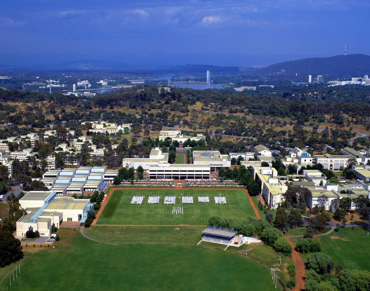
CSIRO works with leading organizations around the world. From its headquarters in Canberra, CSIRO maintains more than 50 sites across Australia and in France, Chile and the United States, employing about 5,500 people.
Federally funded scientific research began in Australia over 100 years ago. The Advisory Council of Science and Industry was established in 1916 but was hampered by insufficient available finance. In 1926 the research effort was reinvigorated by establishment of the Council for Scientific and Industrial Research (CSIR), which strengthened national science leadership and increased research funding. CSIR grew rapidly and achieved significant early successes. In 1949 further legislated changes included renaming the organization as CSIRO.
Notable developments by CSIRO have included the invention of atomic absorption spectroscopy; essential components of Wi-Fi technology; development of the first commercially successful polymer banknote; the invention of the insect repellent in Aerogard and the introduction of a series of biological controls into Australia, such as the introduction of myxomatosis and rabbit calicivirus for the control of rabbit populations.
Research and focus areas
Research Business Units
As of 2023, CSIRO’s research areas are identified as “Impact science” and organized into the following Business Units:
Agriculture and Food
Health and Biosecurity
Data61
Energy
Manufacturing
Mineral Resources and Environment (being the amalgamation of the former Land and Water and Oceans & Atmosphere BUs)
National Facilities
CSIRO manages national research facilities and scientific infrastructure on behalf of the nation to assist with the delivery of research. The national facilities and specialized laboratories are available to both international and Australian users from industry and research. As at 2019, the following National Facilities are listed:
Australian Animal Health Laboratory (AAHL)
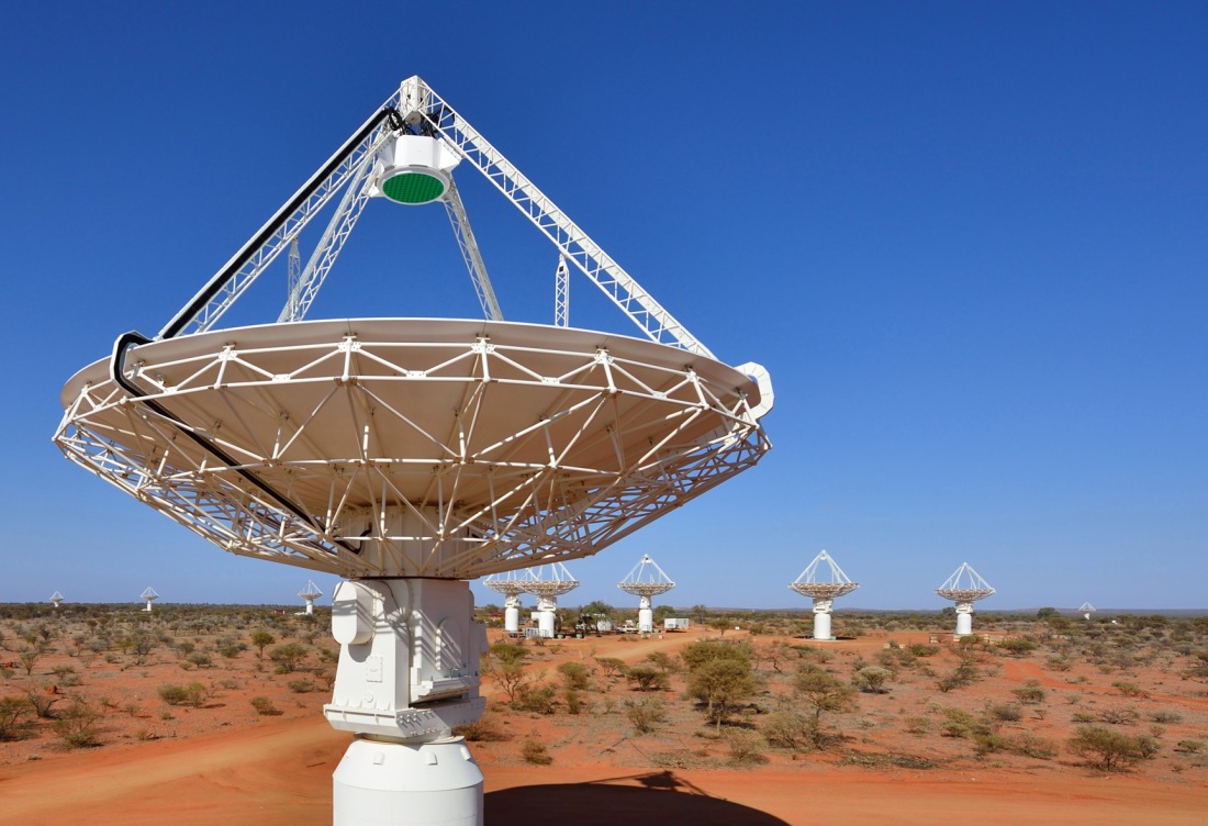
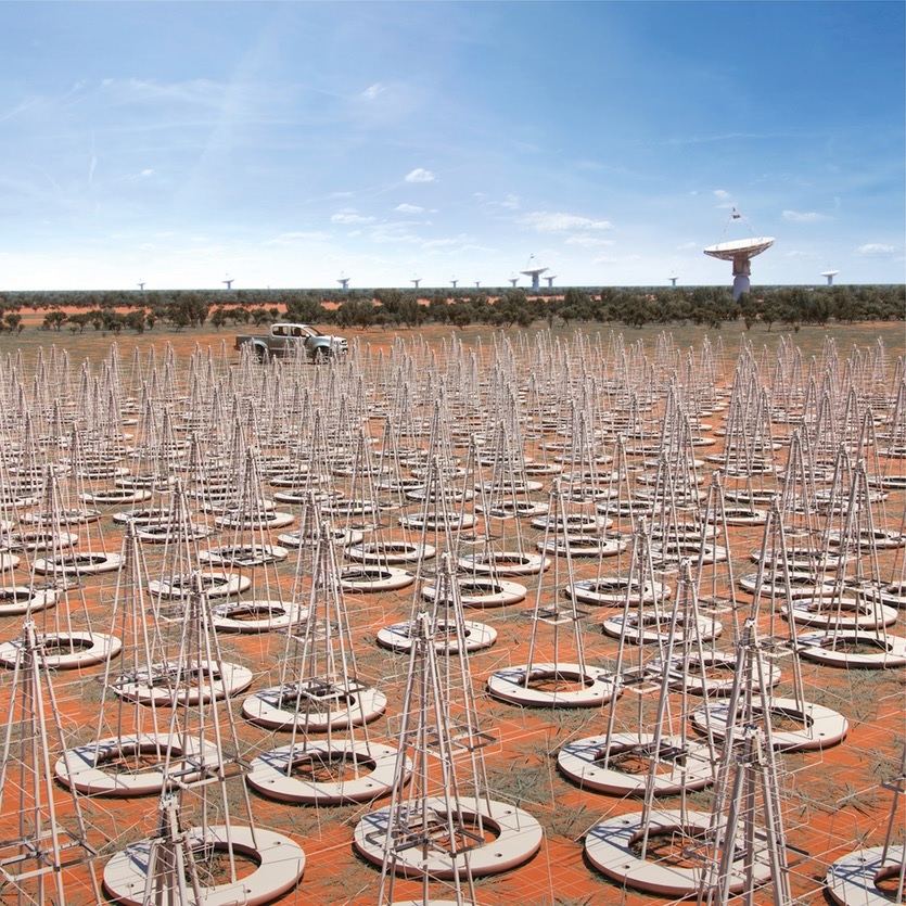
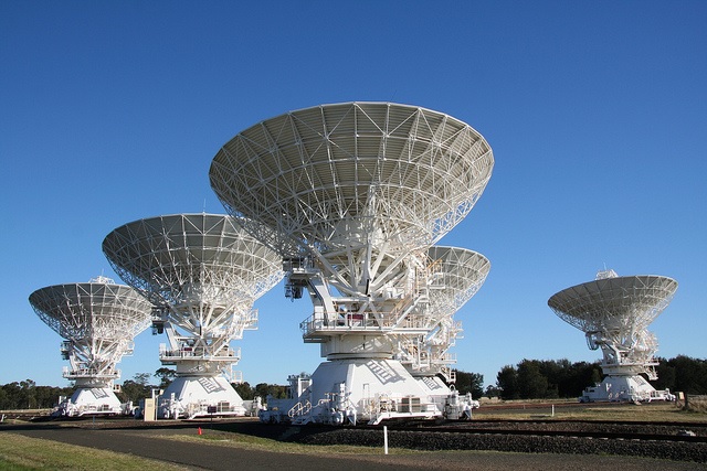
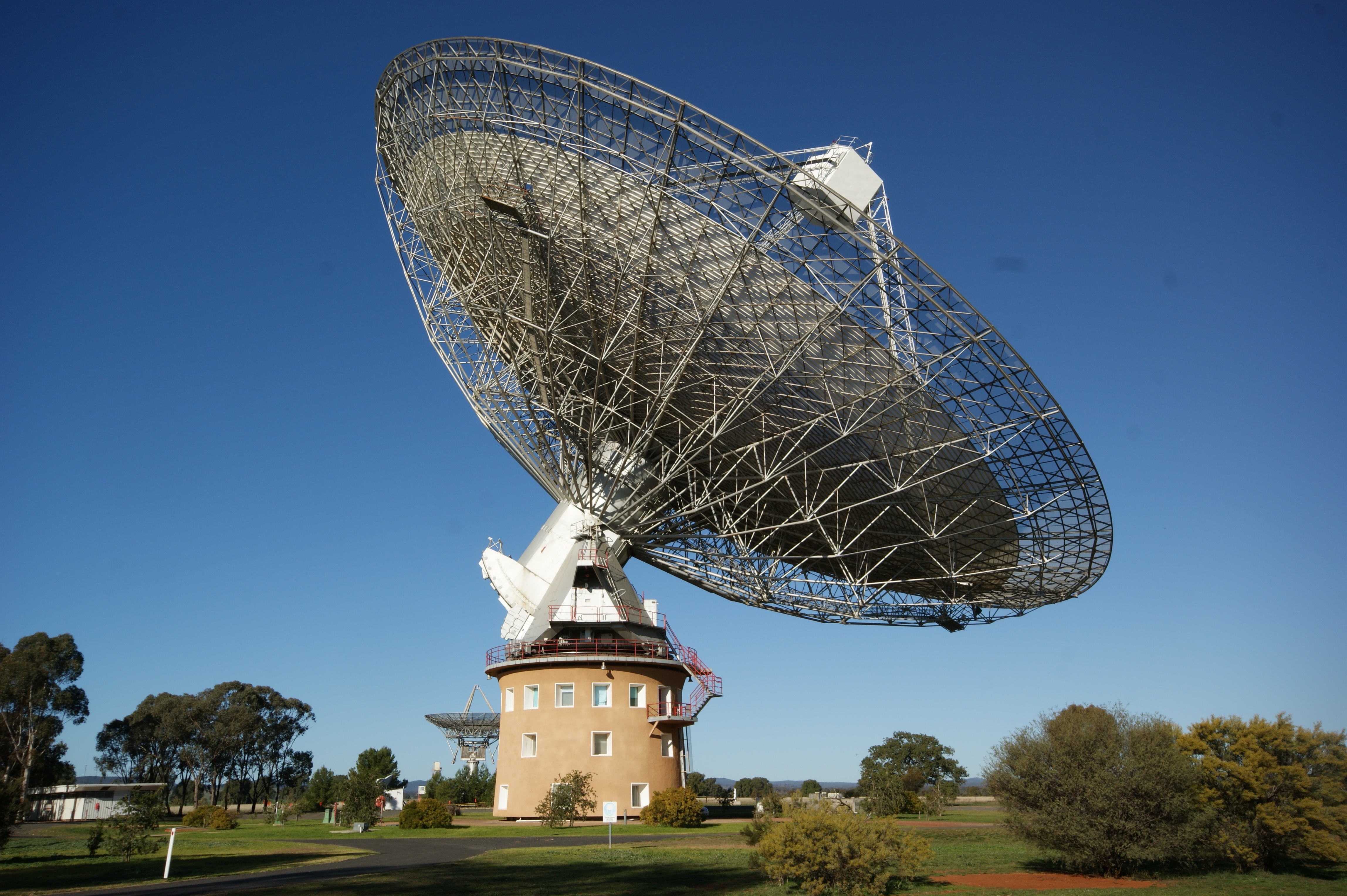
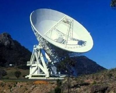
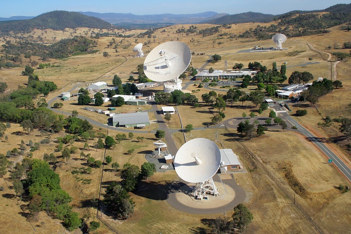
Australia Telescope National Facility – radio telescopes included in the Facility include the Australia Telescope Compact Array, the Parkes Observatory, Mopra Radio Telescope Observatory and the Australian Square Kilometre Array Pathfinder.

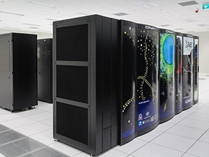
CSIRO Pawsey Supercomputing Centre AU)


Others not shown
Collections
CSIRO manages a number of collections of animal and plant specimens that contribute to national and international biological knowledge. The National Collections contribute to taxonomic, genetic, agricultural and ecological research. As at 2019, CSIRO’s Collections are listed as the following:
Australian National Algae Culture Collection
The Atlas of Living Australia
Australian Tree Seed Centre
Australian National Fish Collection
Australian National Insect Collection
Australian National Herbarium
Australian National Soil Archive (managed through A&F)
Australian National Wildlife Collection
Cape Grim Air Archive
Services
In 2019, CSIRO Services are itemized as follows:
Materials and infrastructure services
Agricultural and environmental analysis
Environmental services
Biological, food and medical science services
Australian Animal Health Laboratory services
Other services are noted as including education, publishing, infrastructure technologies, Small and Medium Enterprise engagement and CSIRO Futures.
Inventions
Notable inventions and breakthroughs by CSIRO include:
A4 DSP chip
Aerogard, insect repellent
Atomic absorption spectroscopy
Biological control of Salvinia
Development of Linola (a flax variety with low alpha-linolenic acid content) with a longer life used as a stockfeed
Distance measuring equipment (DME) used for aviation navigation
Gene shears
Interscan Microwave landing system, a microwave approach and landing system for aircraft
Use of myxomatosis and calicivirus to control rabbit numbers
Parkes Radio Telescope
The permanent pleat for fabrics
Plasma sintering
Polymer banknote
Production of metals from their halides
Relenza flu drug
Sirosmelt lance
“Softly” woollens detergent
Phase-contrast X-ray imaging
Method to use titanium in 3D printing
UltraBattery
Essential components of Wi-Fi technology
Zebedee – Mobile Handheld 3D Lidar Mapping technology
Historic research
CSIRO had a pioneering role in the scientific discovery of the universe through radio “eyes”. A team led by Paul Wild built and operated (from 1948) the world’s first solar radiospectrograph, and from 1967 the 3-kilometre-diameter (1.9 mi) radioheliograph at Culgoora in New South Wales. For three decades, the Division of Radiophysics had a world-leading role in solar research, attracting prominent solar physicists from around the world.
CSIRO owned the first computer in Australia, CSIRAC, built as part of a project began in the Sydney Radiophysics Laboratory in 1947. The CSIR Mk 1 ran its first program in 1949, the fifth electronic computer in the world. It was over 1,000 times faster than the mechanical calculators available at the time. It was decommissioned in 1955 and recommissioned in Melbourne as CSIRAC in 1956 as a general purpose computing machine used by over 700 projects until 1964. The CSIRAC is the only surviving first-generation computer in the world.
Between 1965 and 1985, George Bornemissza of CSIRO’s Division of Entomology founded and led the Australian Dung Beetle Project. Bornemissza, upon settling in Australia from Hungary in 1951, noticed that the pastureland was covered in dry cattle dung pads which did not seem to be recycled into the soil and caused areas of rank pasture which were unpalatable to the cattle. He proposed that the reason for this was that native Australian dung beetles, which had co-evolved alongside the marsupials (which produce dung very different in its composition from cattle), were not adapted to utilise cattle dung for their nutrition and breeding since cattle had only relatively recently been introduced to the continent in the 1880s. The Australian Dung Beetle Project sought, therefore, to introduce species of dung beetle from South Africa and Europe (which had co-evolved alongside bovids) in order to improve the fertility and quality of cattle pastures. Twenty-three species were successfully introduced throughout the duration of the project and also had the effect of reducing the pestilent bush fly population by 90%.
![]()